 |
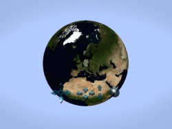
Geospatial applications - meaning Geographic Information System (GIS) based applications are similar to mirror world applications in the consumer sector. Images of environments are visualized in 3d models and designed to be accessible by a large user base. The data of the models come from established GIS programs which can be exported into the VRML or X3D format.
Animation and interactivity can be added through VRML/X3D programming. Alternatively, the data needed can also be derived directly from buildings by laser scanning or flyover photography, which then can be visualized with the BS Contact Geo - the software designed specifically for interactive visualization on the Internet. The BS Contact Geo also offers special features to display big cities or large scale scenes.
Bitmanagement supports the application development process with:
- BS Tiler : The data preparation-tool (e.g. for flyover or satellite imagery) and
- BS Editor : The programming tool (for programming the interactivity and behavior of objects and scenes).
The interactive visualization on the Internet is achieved by the BS Contact Geo software.